
So, I found myself in a bit of a quandary here because I couldn’t figure out exactly where the county courthouse was. If anywhere has a claim to be the right place—the county’s administrative seat—it would be the Board of County Commissioners building pictured above. That said, why would you want this …

… when you could have this? A few blocks away was the old El Paso County Courthouse. It’s a museum now, but I couldn’t not take note of it. It is gorgeous and quite decently sized. Why would they move out of this building? Couldn’t it be modernized? Of course, the county administration could easily have grown beyond it. The county clerk had their own structure a block away, so it’s probably bigger than I thought it would be. Of course, I’m a tourist, so what the heck do I know about anything here? Once I had offered my water to the county and acquired some breakfast, I had to get a cache, now, didn’t I? Well, as far as I was concerned, only one would do. I had been to the top of one fourteener the day before. It was time to summit another one.
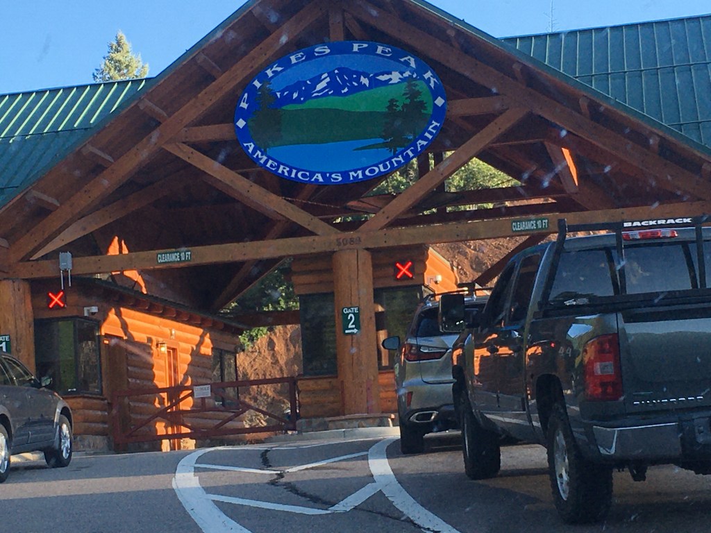
Welcome to the mountain that Zebulon Pike said couldn’t be climbed. I had to wait in line for an hour to get in. I drove to the entrance and got there half an hour before it opened, only to find out that it opened an hour after I thought it did. So, I waited some more. Being so early did result in being close to the front of the line, so at least that made up for being too early and losing time. Once the gate opened, though, I began my drive up. Had to stop partway up to hit the bathroom. Needing to go at only eight thousand feet was inconvenient, but there was an inn/tavern halfway up with adequate facilities. They’d been doing renovations at the top for quite a while, so the (incomplete) top parking lot was only available for visitors with small children and people with disabilities. I had to park partway up and ride one of the shuttles. Again, more time lost, but if there was a better place to play tourist, I hadn’t seen it yet on this trip.
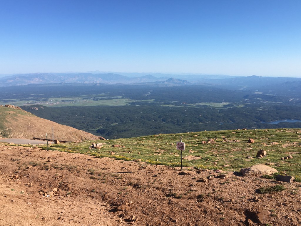

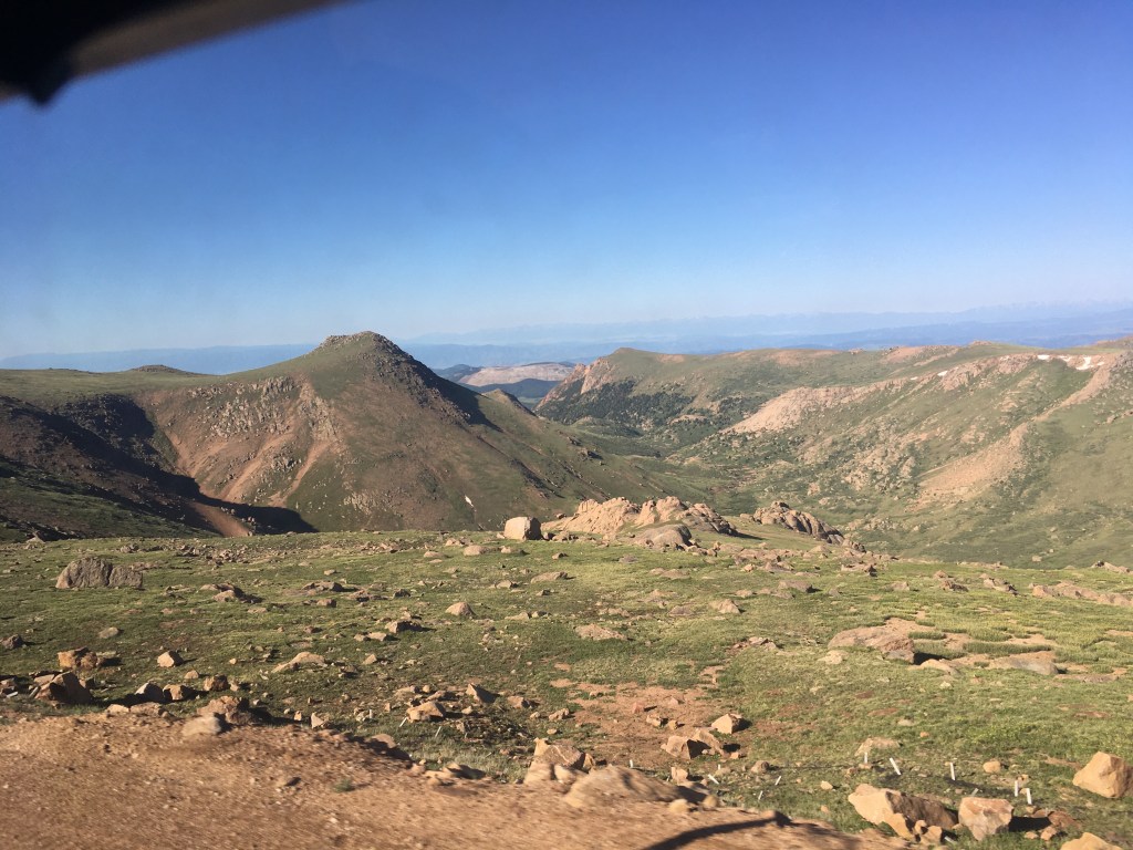

I often saw views while going up in these mountains that I couldn’t photograph because I was driving and couldn’t use a camera. Eventually, we made it to the summit.

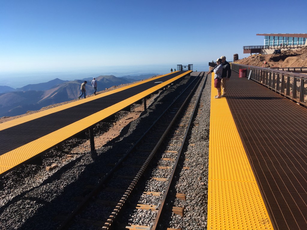
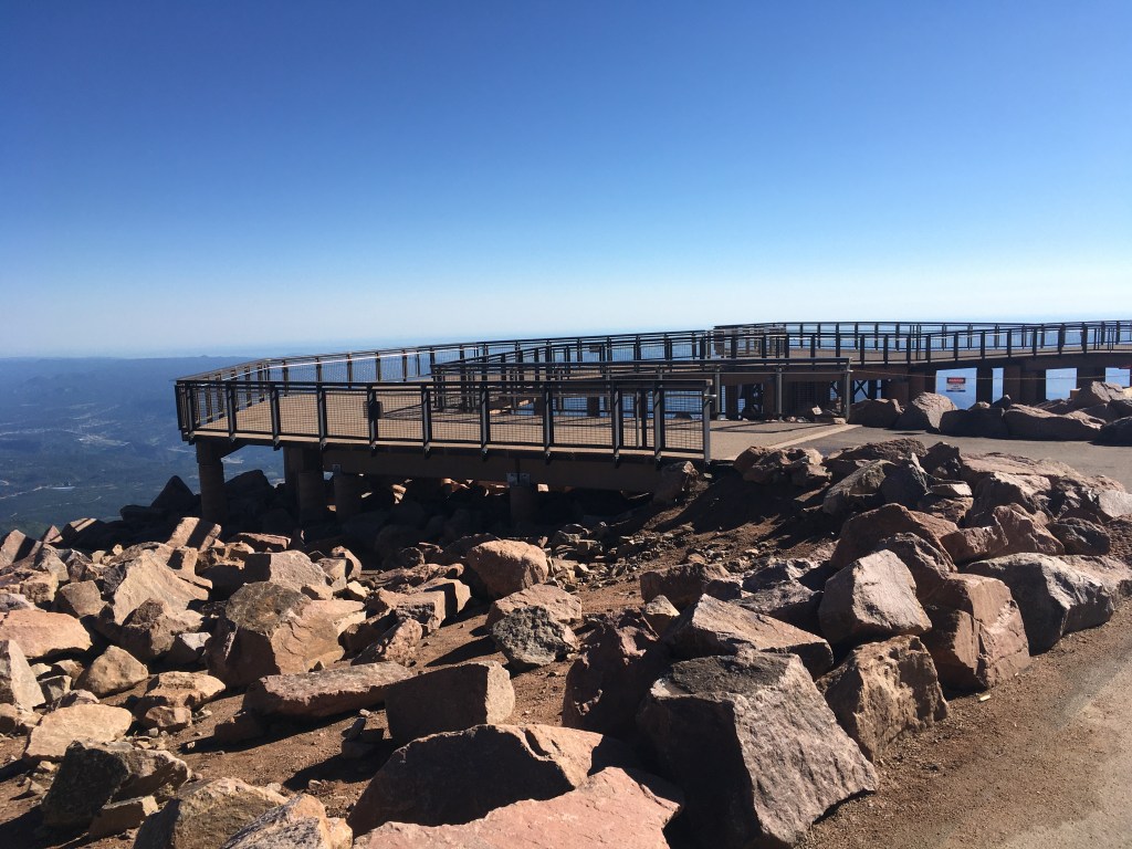
They had finished the new visitors center and demolished the old one. I also saw the rail line coming up from another nearby town. That might have been a fun ride, but not today, I guess. I started looking into the caches at the top (there were several), but construction had blocked off safe ways to most of them. I ended up opting for the Virtual up there. Again, I couldn’t get to the thing safely, so I did the best I could from where I was.

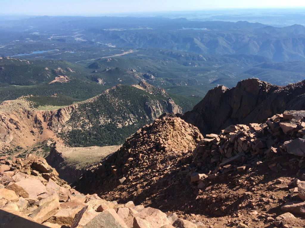
You said nobody would make it up here, so suck it, Pike! I also answered the answers to the EarthCache up at the summit. And, of course, I took one more to truly symbolize my victory up here in the clouds. The older, more iconic sign had been replaced, but …

… I made it. I also spent a lot of time up there, walking around, writing postcards for a few special people, and other such things. The time came to get back on the shuttle and head back to the car. I was driving back home and would be getting a later start than I would have liked, but being up here was totally worth it. The drive down was uneventful, but I was gobsmacked by how many cars there were parked up at the shuttles and even more so by all the cars at the bottom, waiting to come up. It may have cost me some early morning hours, but ultimately, I chose well. When I got off of this mountain, as the song says, you know where I want to go. I’d been to the Mississippi River and the Gulf of Mexico, and I don’t know anyone in Lake Charles, but I knew that soon I would be up on…

I need to do this. When you come up my way I’ll drive you up Mount Washington. Only a 6,000+ footer. It has a webcam though
LikeLike